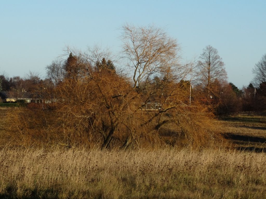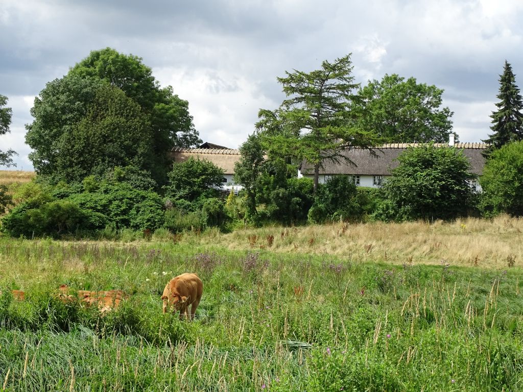
Very Cold
Temperatures
The average maximum temperature during April 2021 in Horsholm was 10.7 Celsius, and that was around 2.5 degrees below normal for the time of year. The average minimum temperature was 0.4 Celsius, and that was also 2.5 degrees below the monthly normal. Overall, it was the coldest April in the area since 2015, and the second coldest in the last 30 years.
The highest temperature recorded during the month was 18.9 Celsius on the 19th, and this was the third day of a 4-day warm spell occurring just after mid-month. The temperature reached 17.5 Celsius on the 18th, with maxima exceeding 16 Celsius on both the 17th and 20th. The next highest temperature was 13.3 Celsius on the 29th, and there were only 8 other days when the temperature reached 10 Celsius or more. The coldest weather occurred early in April. The 1st was the only day during the first fortnight of the month when the temperature climbed above 10 Celsius. During the remainder of April, there were just 4 more of these colder days, these all occurring between the 22nd and 26th. On 6 of these cold days the temperature failed to rise above 8 Celsius, but only 2 days had maxima below 7 Celsius (45F). On the 8th a high of 6.9 Celsius occurred, with 6.3 Celsius recorded on the 5th.
There were no mild nights during April. On the 29th a minimum of 5.8 Celsius was recorded, with 4.8 Celsius occurring on the 17th. A further 3 nights had minima above 3 Celsius. None of these less cold nights occurred before mid-month. The coldest nights were generally around, and before, mid-month, although the 25th, 27th and 28th each had minima below minus 2 Celsius. The coldest night of the month was on the 14th when minus 3.1 Celsius was recorded.
Frost
April had 15 air frosts, and that was around 7 above the average. Air frost was absent on only 4 nights between the 3rd and 16th. A slight frost occurred on the 20th, and there were 4 consecutive nights of frost commencing on the 25th. Most of the frosts were slight, with only 5 nights having minima below minus 2 Celsius. However, 3 of the coldest nights occurred between the 25th and 28th.
Rain
There were 25.6 millimetres of rain recorded during April, and that was very close to the average. Measurable precipitation fell on 14 days, and that was 4 days above average, and wet days (when 1 millimetre or more of rain was measured) numbered 6 days, and that was average for the month. Light rain occurred on the first 2 days of the month, but heavier precipitation on the 5th amounted to 7.4 millimetres. In an unsettled spell of weather that lasted until the end of the second week, rainfall was mainly light with only 1 day, the 11th with 7.6 millimetres, having a total above 2 millimetres. No rain was recorded between the 14th and 20th, but 2.6 millimetres fell on the 21st and each of the following 3 days had less than a millimetre of rain. The month ended damp with 2 millimetres falling on the 29th, with further light rain on the 30th.
Hail
No hail was observed in this part of Horsholm.
Thunder
No thunder was heard in this part of Horsholm.
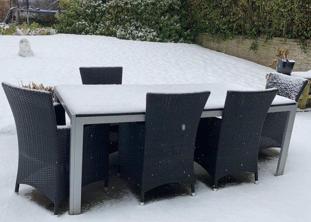
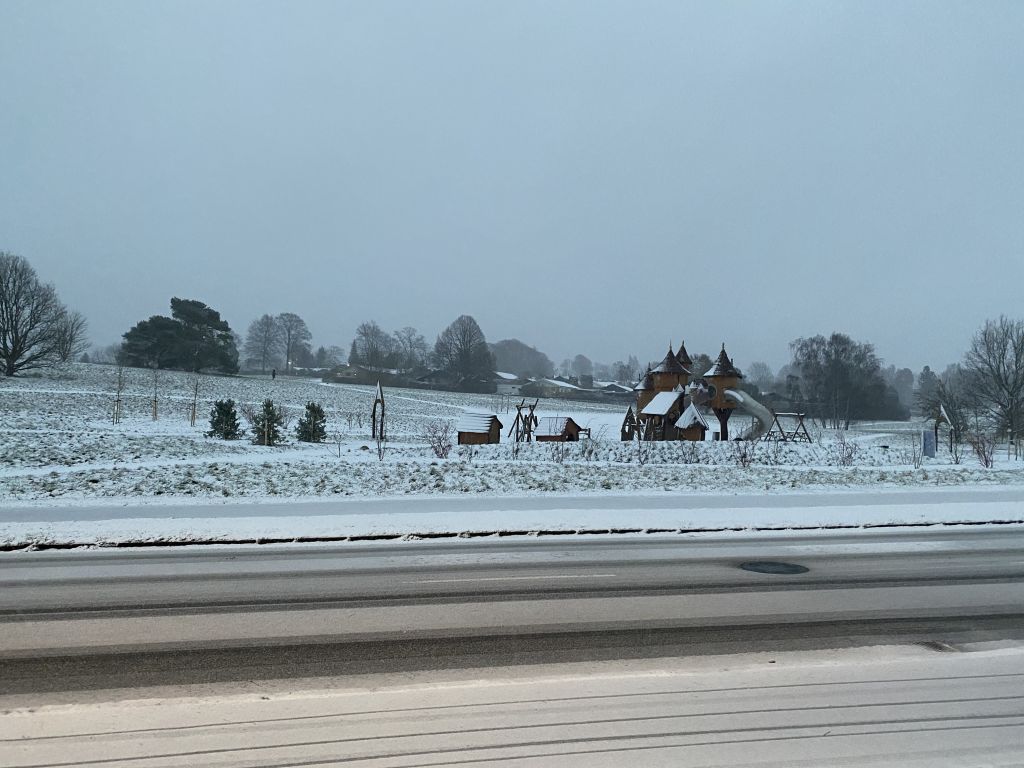
Snow
Sleet or snow fell on 2 days during April. On the 5th, sleet fell overnight with snow showers during the day, with a layer of snow settling on the grass. Sleet, then snow, fell mid to late morning on the 11th.
Wind
Winds were mainly from between southwest and northwest during April, accounting for over two-thirds of the daily observations. Northwesterlies were in the majority, with around 40% of the daily readings. Winds were quite strong during the first 10 days of April, and again at the beginning of the fourth week, otherwise the wind was gentle or moderate, but during the warm spell, light winds prevailed.
Fog
There was no fog observed in Horsholm during the month.