A Month of Extremes
Temperatures
The average maximum temperature during February 2021 in Horsholm was 3.4 Celsius, and that was around 1.5 degrees below normal for the time of year. The average minimum temperature was -3.3 Celsius, and that was more than 3 degrees below the monthly normal.
The highest temperature recorded during the month was 15.2 Celsius on the 25th, and that’s over 10 degrees above average. The 23rd had a high of 13.9 Celsius, and a further 3 days had maxima above 10 Celsius. All of the very mild days occurred between the 21st and 25th, but the last 3 days of the month each had maxima above 8 Celsius. Every day between the 1st and 19th had maximum temperatures below 3 Celsius, with the 5th, 6th and 7th particularly cold. The 7th had a high of minus 2.7 Celsius, but on both the 5th and 6th the temperature failed to rise above minus 3.3 Celsius.
There were 3 mild nights during February, and they were consecutive nights beginning on the 23rd. Minima were 5.6, 5.8 and 4.8 Celsius respectively. The only other night with a minimum above 2 Celsius was the 26th when 2.7 Celsius was recorded. During the first 15 nights of February there were some very low temperatures. On 9 nights minima were below minus 7 Celsius, and on 3 consecutive nights, the 12th, 13th and 14th, minimum temperatures were below minus 10 Celsius. The lowest values were minus 14.0 Celsius on the 12th and minus 12.1 Celsius on the 13th.
Frost
February had 19 air frosts, and that was around 7 above the average. The first 17 nights were frosty, and the last 2 nights of the month had frost. The frosts were severe with 12 of the first 15 nights of February having minima below minus 5 Celsius. There was continuous frost from late afternoon on the 2nd until late morning on the 13th, and the sea froze on many coasts during the second week of the month. It was the most extreme spell of cold weather in the area since December 2010.
Rain
There were 20.4 millimetres of rain recorded during February, and that was only around 40% of the average. Measurable precipitation fell on 12 days, and that was 7 days below average, and wet days (when 1 millimetre or more of rain was measured) numbered 7 days, and that was 2 days below average for the month. Much of the precipitation fell as snow and the water equivalent was quite small with only 4.4 millimetres measured during the first 16 days of February. Snow, then sleet, on the 17th, gave 12.2 millimetres, and as the thaw accelerated 1 millimetre fell on the 18th, and the thaw was complete on the 19th, a day that had 2.6 millimetres of rain. The remainder of the month was largely dry.
Hail
No hail was observed in this part of Horsholm.
Thunder
No thunder was heard in this part of Horsholm.
Snow
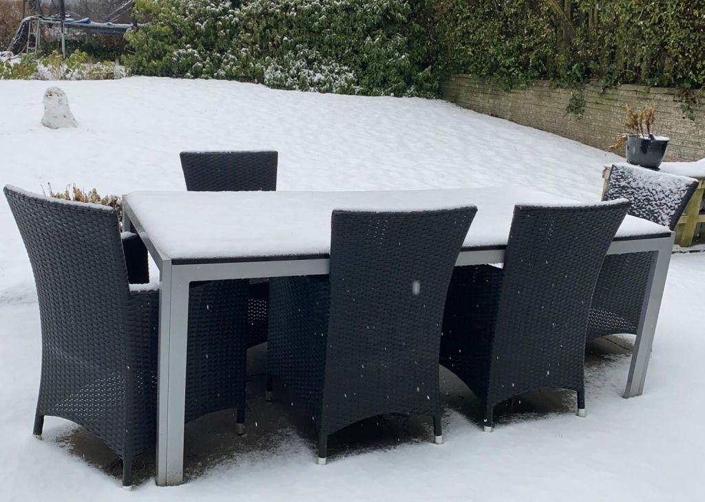
Sleet or snow fell on 8 days during February, but apart from on the 16th and 17th, the snow was light and powdery. Snow lay on the ground from the 28th January until the 18th of February, a total of 22 days, but the depth was only 1 or 2 centimetres, except on both the 16th and 17th when 4 centimetres were measured.
Wind
During the cold spell the wind was from between north and east and accounted for a third of the daily observations. During the milder weather winds were between south and west, and also accounted for a third of the observations. Around the middle of the month and through the third week the direction was variable. The winds were light or moderate on many days, with the lightest winds generally occurring in the second half of the month. Some of the coldest days had the strongest winds. The 9th and 10th both had fresh or strong northeast winds and on these days the temperature only rose to minus 2.1 and minus 1.6 Celsius respectively.
Fog
No fog was observed on any days at 0900 UTC but it was very misty at times when the milder weather arrived during the third week.